


from 890.00 € for 5 nights
05.01.2026 - 06.02.2026
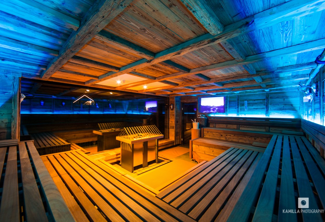
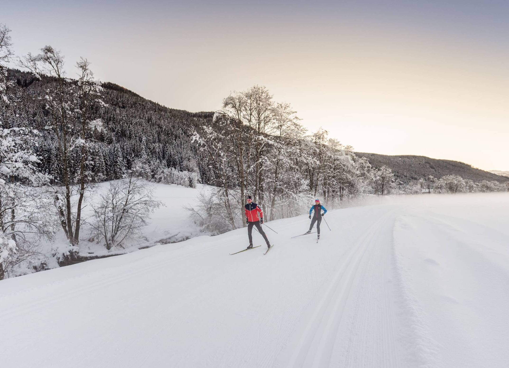
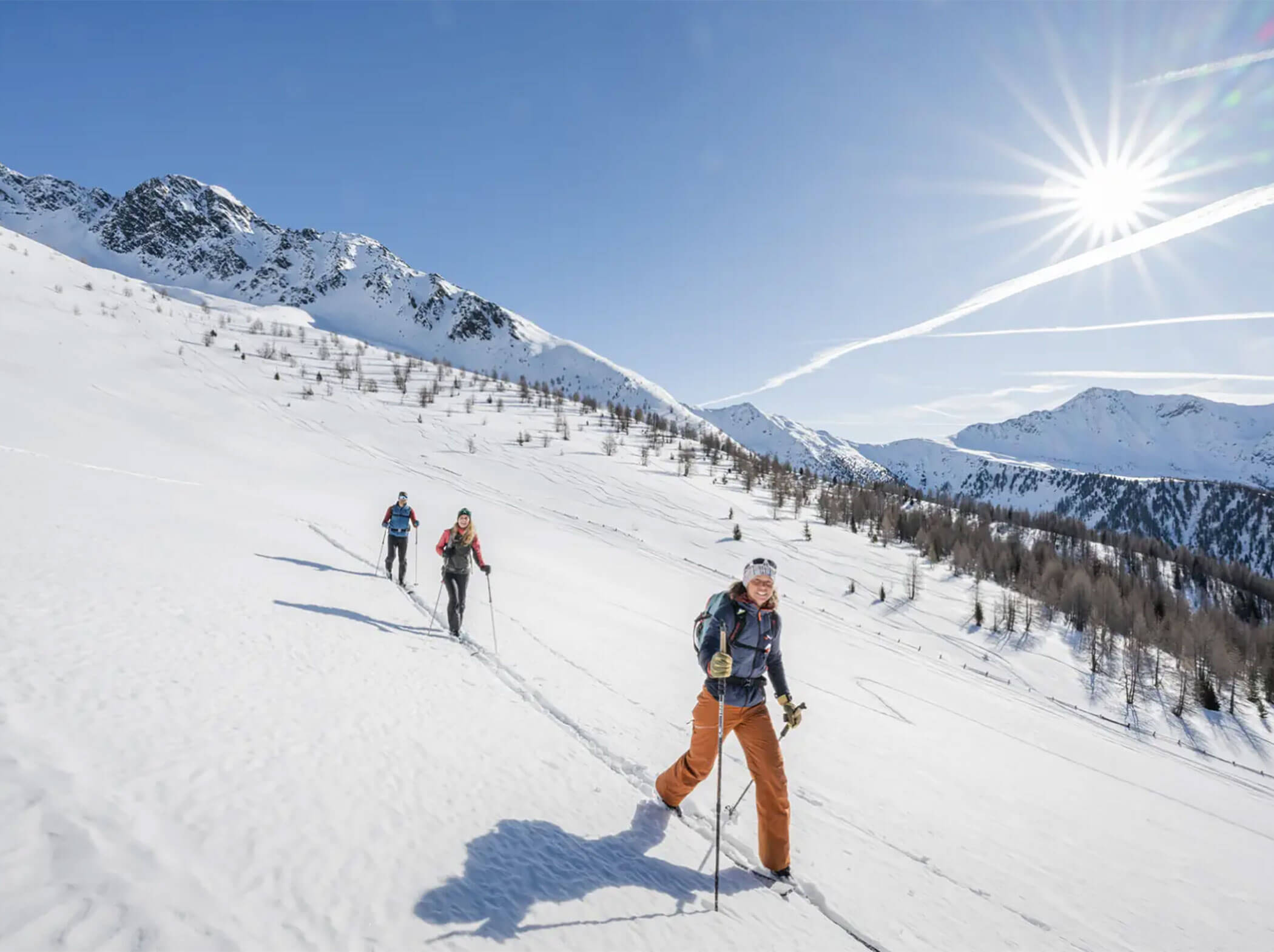
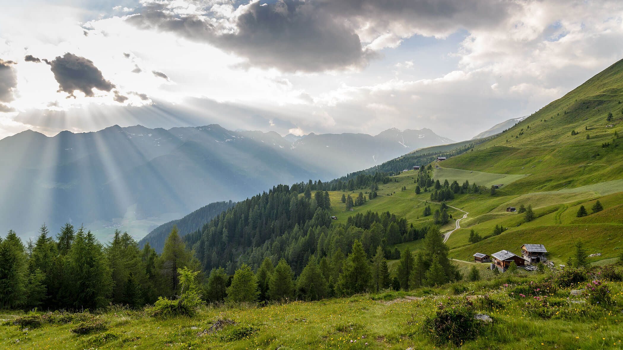
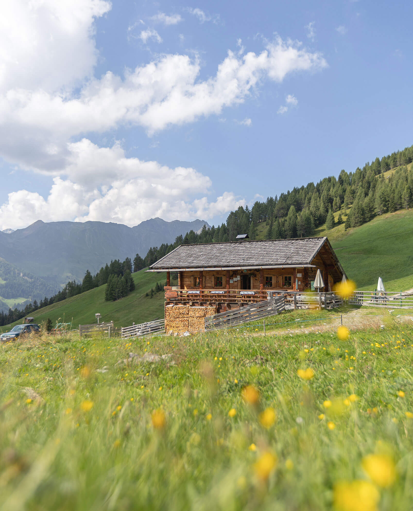
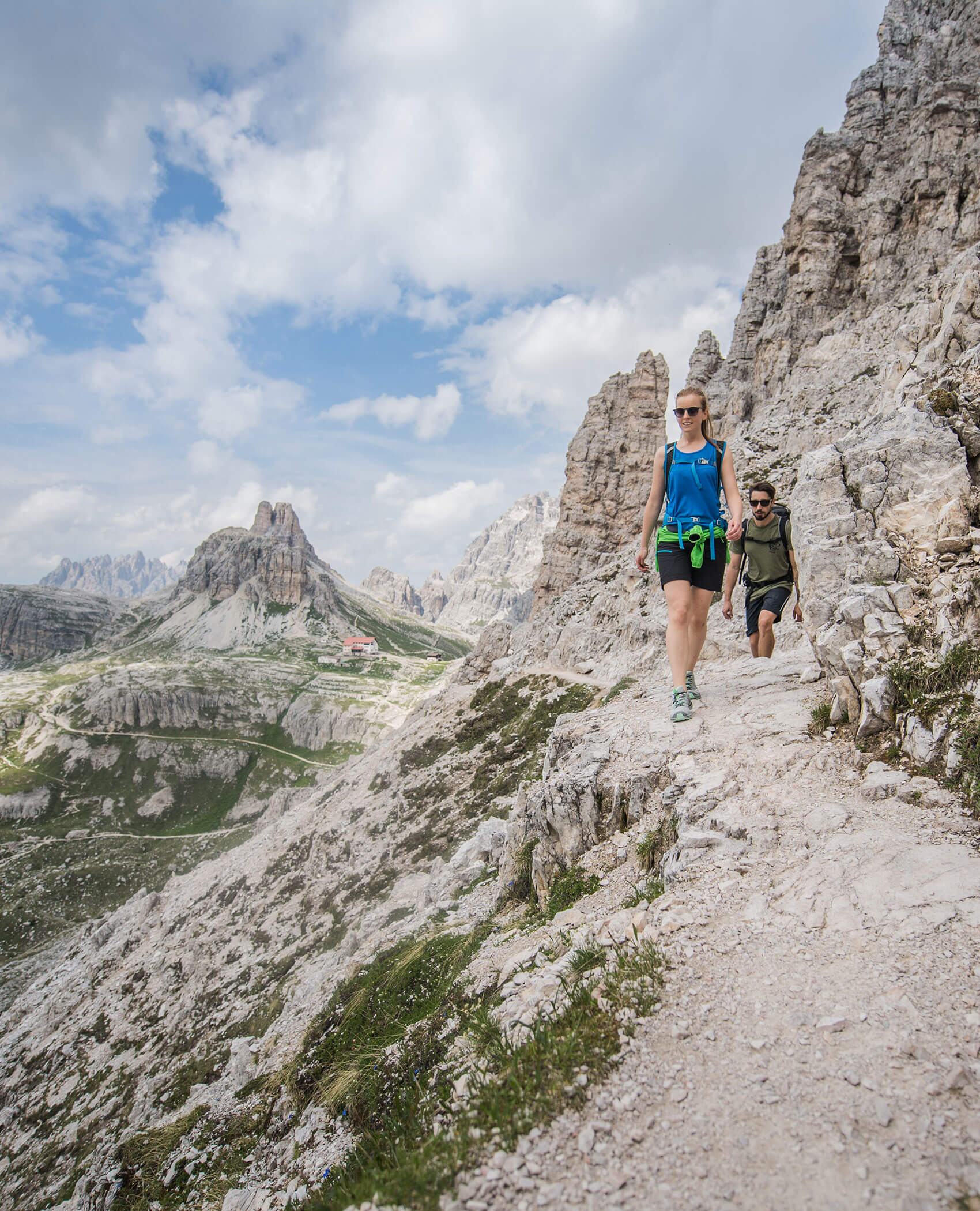
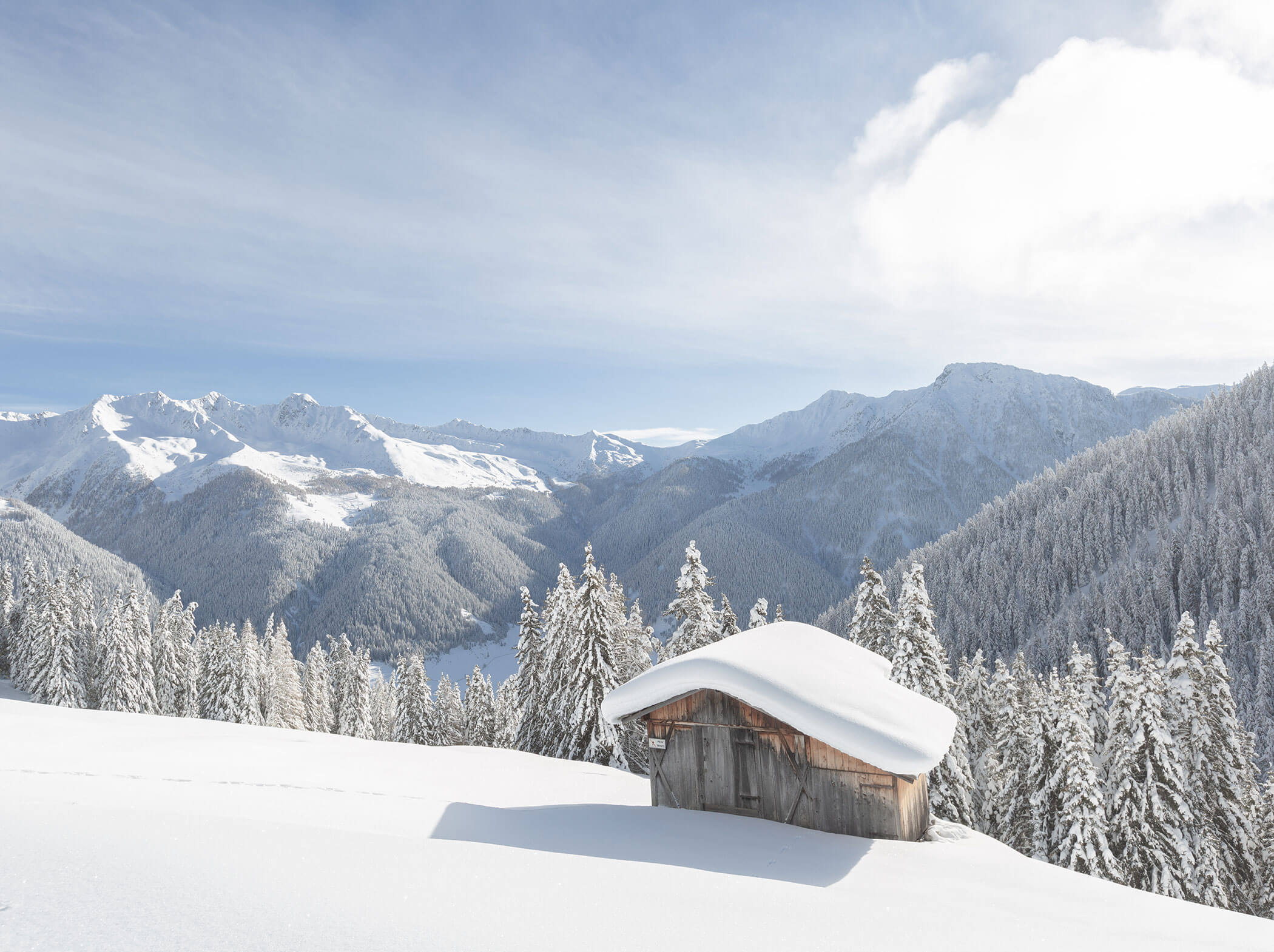
Winter Delights in the Valley Casies
Freedom, tranquility & nature – your most beautiful winter in South Tyrol.